The department includes the key functions that foster and protect the environment and natural resources in the Northern Territory. Find out more
What we are doing
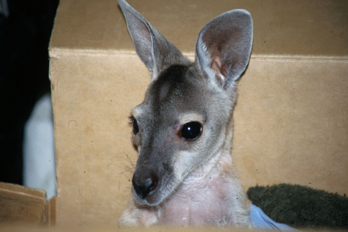
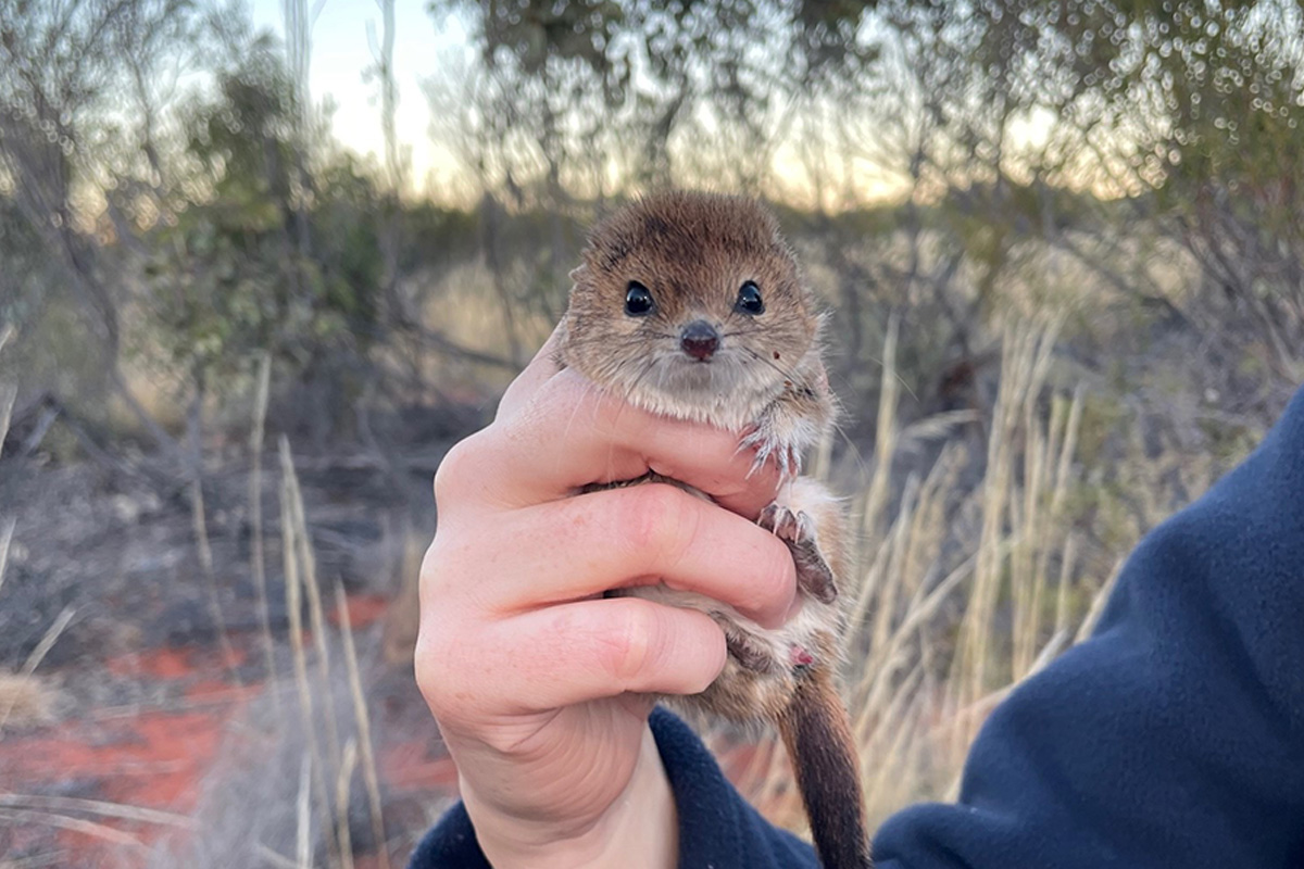
Wildlife Rescue and Rehabilitation Grants Open for Applications
Applications are open for the next round of Northern Territory Government grants to support rescue, care and rehabilitation of native wildlife and release back to their environment.
Recovery of unused licensed water
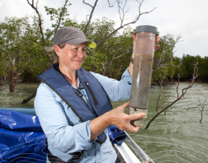
The recovery of unused water is critical to ensure the sustainability of the Territory’s water resources.
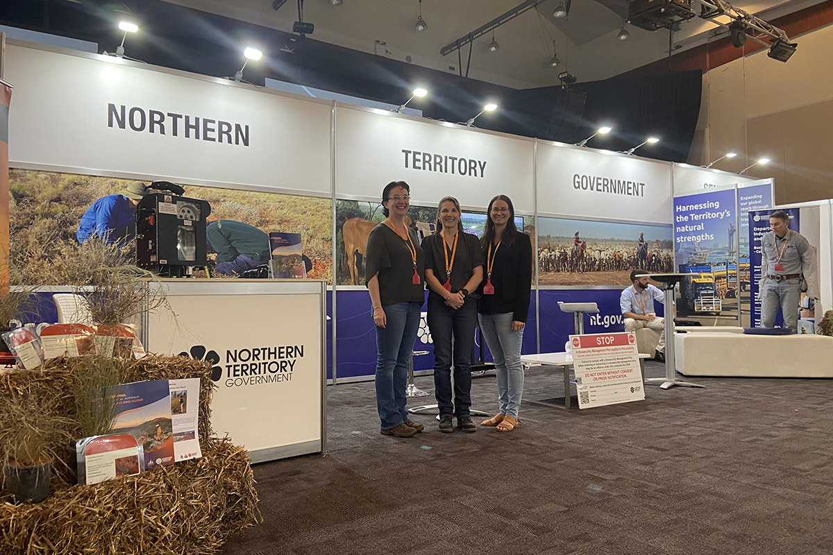
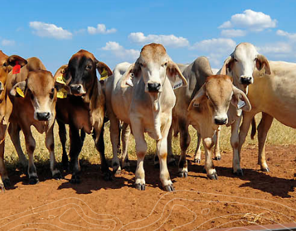
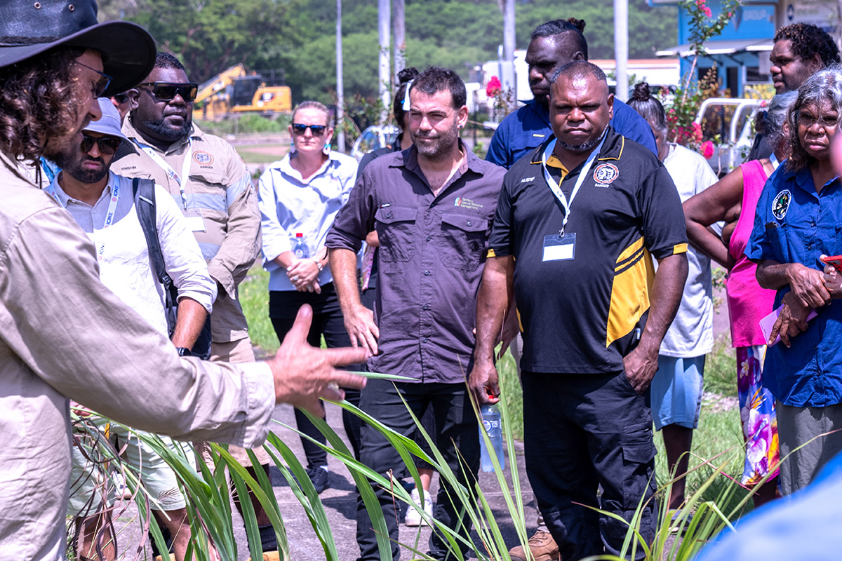
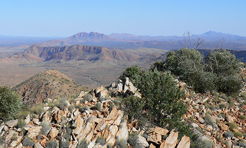
Rangelands and Bushfire's NT engage at NT Cattlemen's Association Conference
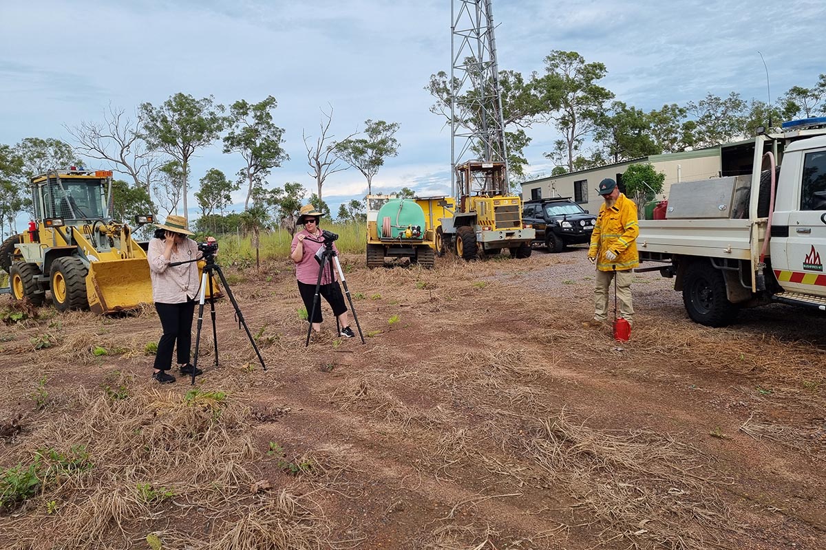
Rangelands and Bushfires NT Divisions of the department recently participated in the Northern Territory Cattlemen’s Association 40th Annual General Conference.
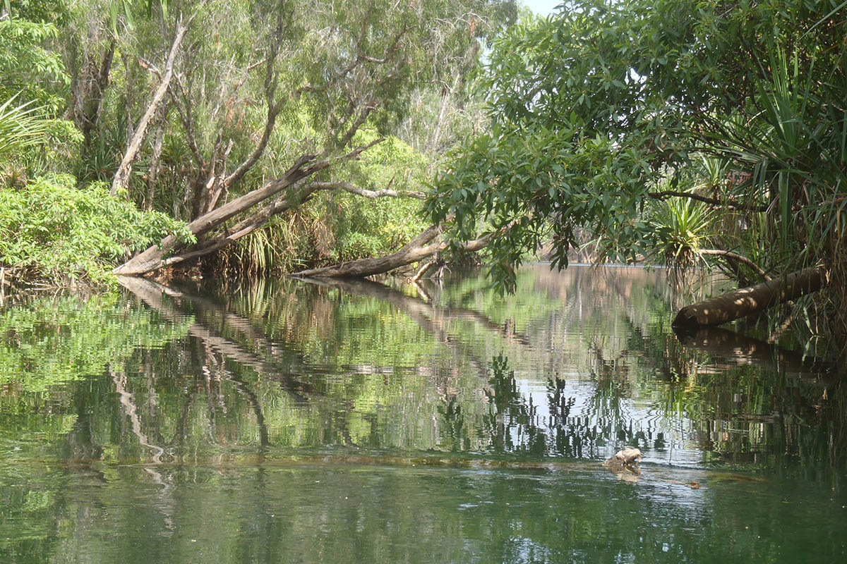
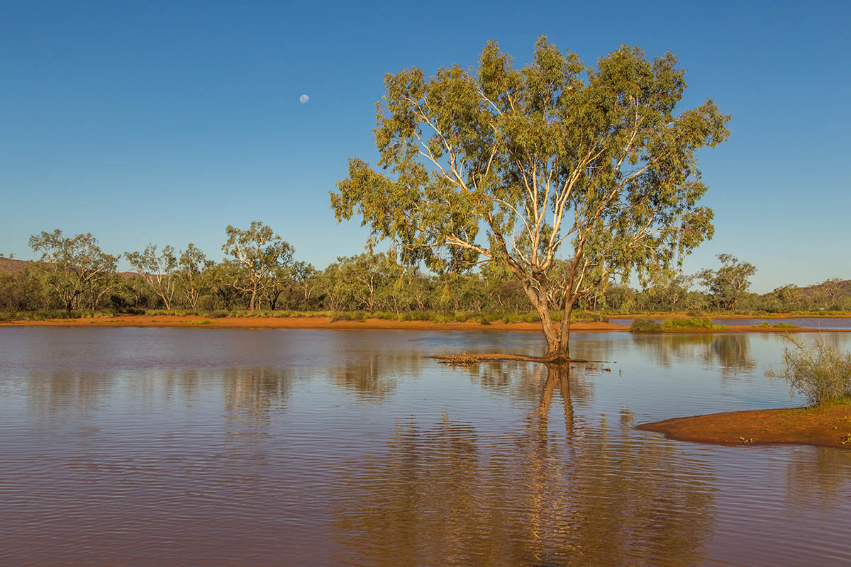
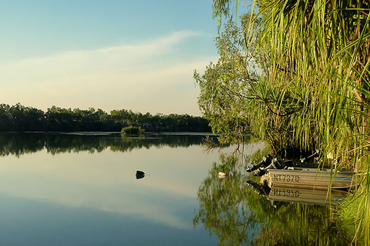
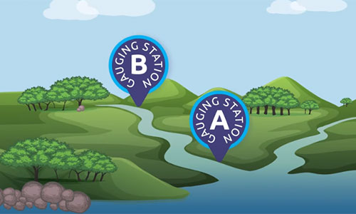
Darwin Rural Groundwater Levels
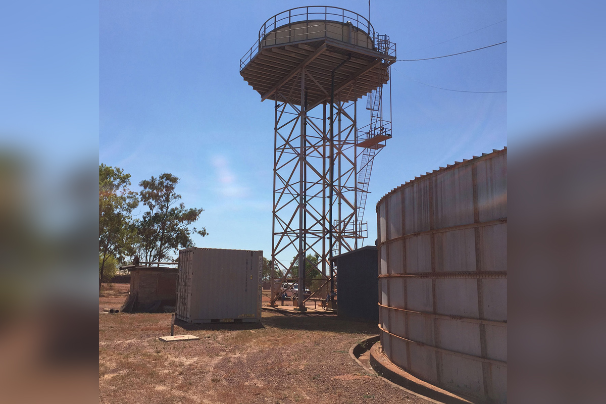
As we approach the dry season in the Top End, it is good to know that our groundwater levels have peaked.
Approach to reforming water resource management laws
The Northern Territory Government’s vision for contemporary legislation that supports sustainable water resource management and builds trust begins with the approach to reform.
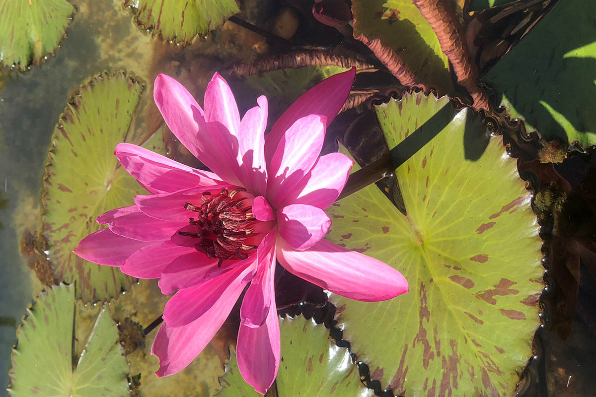
Wet season brings lush growth at the George Brown Botanic Gardens
There’s a flurry of activity at George Brown Darwin Botanic Gardens after a lively wet season delivered a welcome splash of new growth and with it, a list of challenges and opportunities for the year ahead.
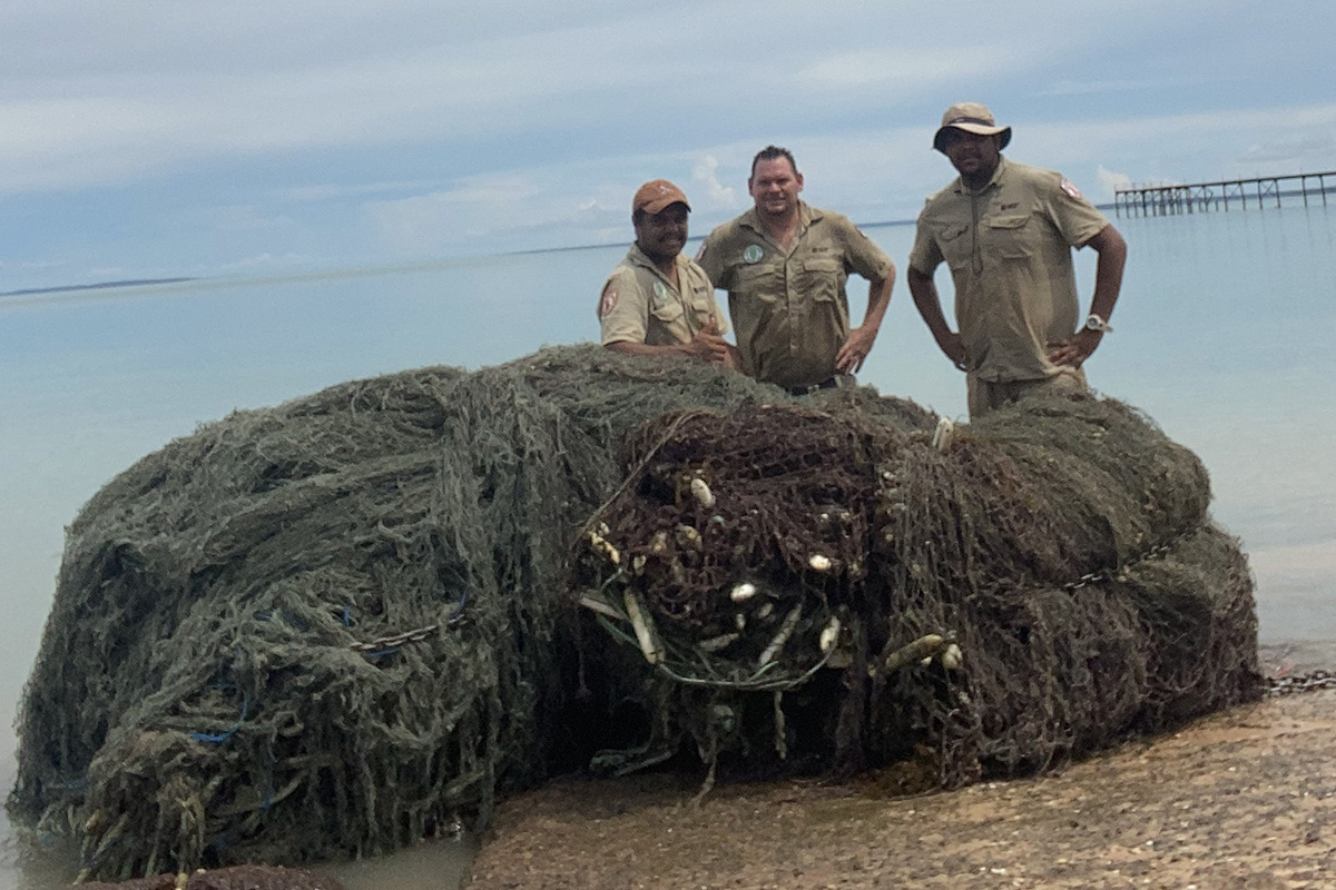
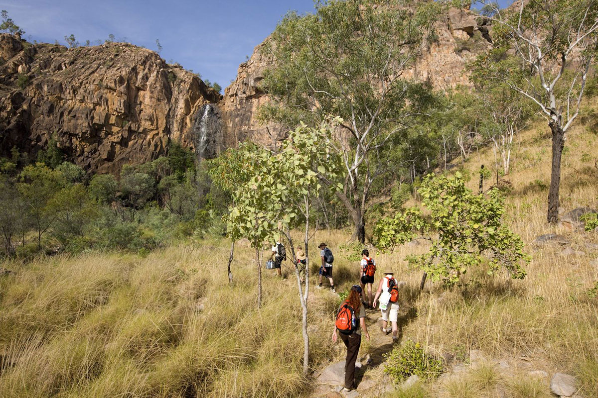
Another ghost net removed from Garig Gunak Barlu National Park waters
NT Parks and Wildlife rangers remove another large ghost net from marine waters within Garig Gunak Barlu National Park on the Cobourg Peninsula. These rogue floating nets are a major threat for the marine life that inhabit the protected waters that surround the peninsula.
Working together for generations to come: two draft joint management plans out for public comment
Two Joint Management Plans for Central Australia are now out for public comment. This is an opportunity for the community to have their say on the future management of these Reserves.
Be Crocwise with the Australian Border Force
Community Engagement Ranger Natasha Hoffmann delivered several Be Crocwise presentations to crews of the Australian Border Force (ABF) visiting Darwin, over the last few months.
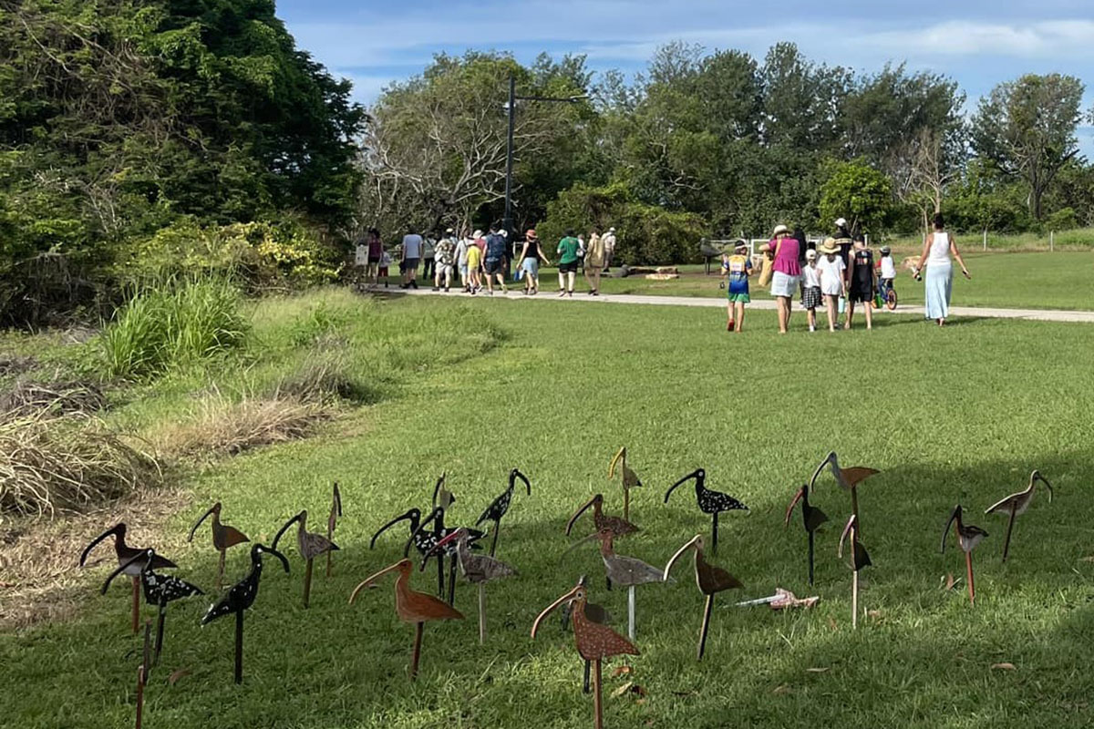
BirdLife Top End host 'Farewell Shorebirds' event at Lee Point within Casuarina Coastal Reserve
BirdLife Top End event attendees recently celebrated the migratory shorebirds as they prepare to leave the Northern Territory’s coastline after the wet season, and head back into the northern hemisphere. Park rangers assisted by conducting compliance patrols in the area to make sure dog owners in the area were obeying the park rules and not disturbing the birds.
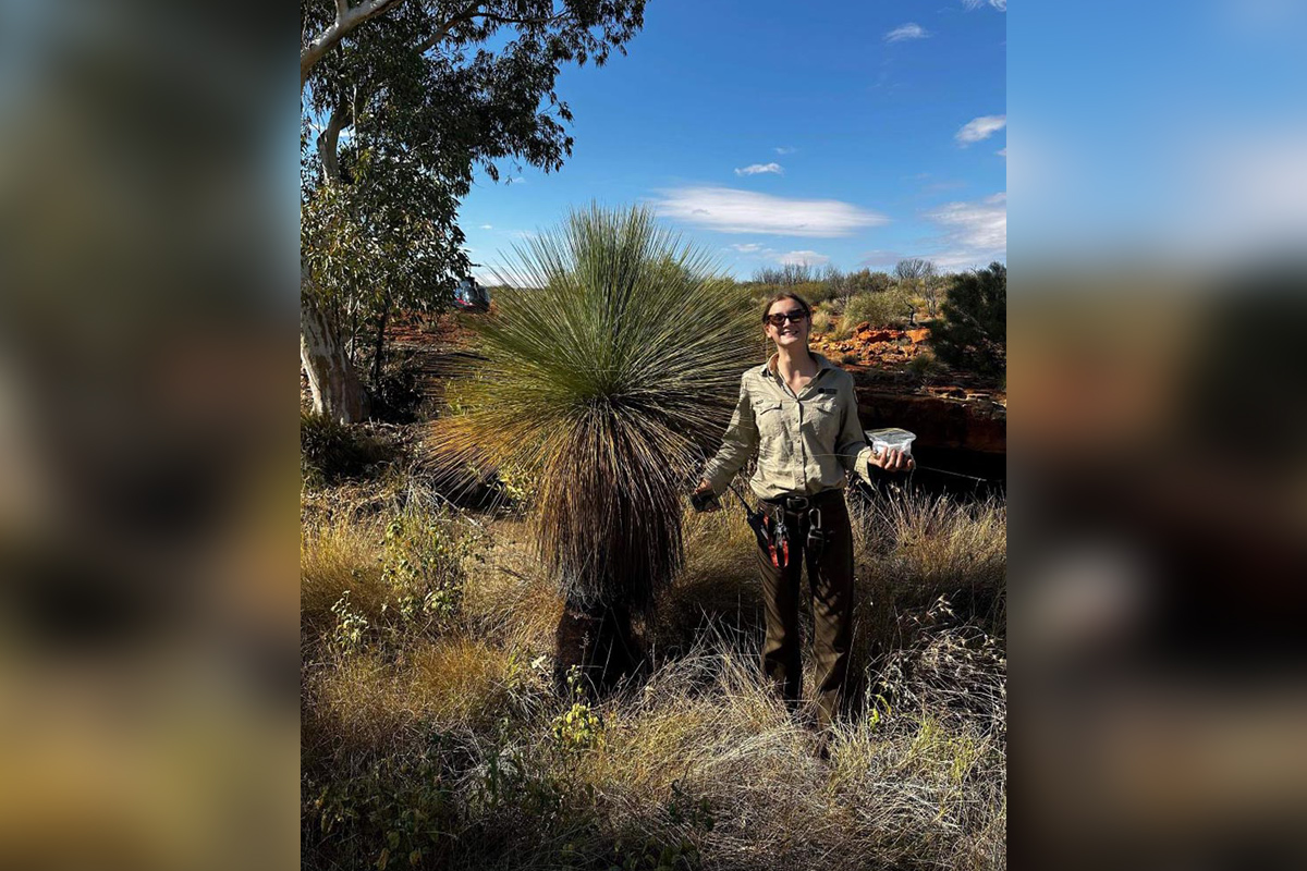
Protecting quandongs and grass trees at Watarrka National Park
The department’s Special Pest Management Projects scheme gives endangered flora some breathing room at Watarrka National Park.
Boosting NT Parks visitor and experience opportunities
Parks have released the Parks Development and Framework Toolkit to help developers realise nature and cultural based opportunities on parks and reserves.
A new platform for delivering Fire Fighting 1 (FF1) Training to Bushfire Brigade Volunteers
Bushfires NT, in conjunction with their third party Registered Training Organisation (RTO), Charles Darwin University (CDU), have developed an online training package to deliver Fire Fighting 1 (FF1) training to Bushfire Brigade Volunteers.
Volunteering at Watarrka National Park, the place to be!
Volunteering at Watarrka National Park gives you a special opportunity to see the park in a way that most visitors will never see, while also being a rewarding and worthwhile experience. Are you up for the adventure?
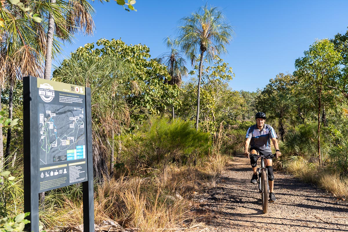
Training for low level helicopter operations
Wire strike is the main hazard of low level aerial operations, and a consistent cause of injury, death and destruction for crews operating in ‘Wire environments’. 6 Parks and Wildlife Rangers recently took part in a seminar covering ‘Threat and Error Management and Crew Resource Management’ for low level crews operating in a wire environment.
Six new water projects co-funded by National Water Grid Authority
On Thursday 14 March the National Water Grid Authority announced that it has co-funded 6 new projects in the Northern Territory worth over $58 million with the Northern Territory Government and partners.
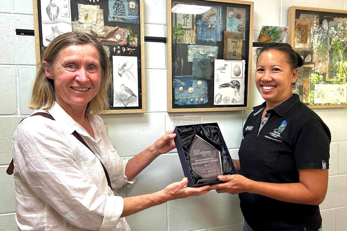
Territory Water Plan nominated for the Australian Water Association’s Organisational Excellence Award
In 2023, the Office of Water Security finalised the Territory Water Plan. In recognition of their hard work, and together with other government agencies and the Power and Water Corporation, they won the Organisational Excellence Award at the NT Water Awards. The Territory Water Plan is now nominated for this category at the national Australian Water Awards.

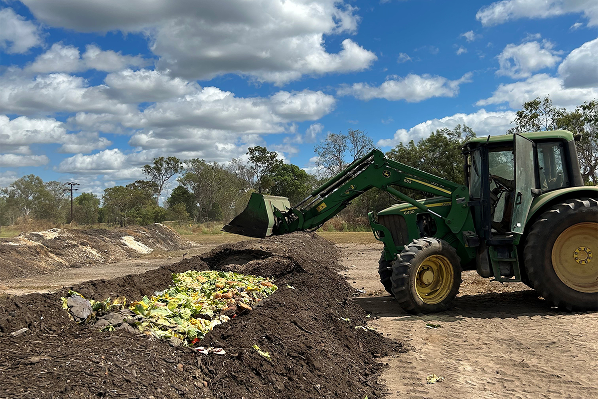
Move to Reuse: A step towards sustainability in the Northern Territory
Territorians can get ready to make the Move to Reuse and step towards a circular economy! The recent release of a public tender called for proposals to implement a self-sustaining reuse model aimed at increasing the reuse of food and beverage items across the Northern Territory.
Understanding the Mataranka Water Allocation Plan
The draft Mataranka water allocation plan has been released by the Minister for the Environment and Water Security, for the public to have their say on the proposed limits to the amount of water that can be taken, as well as the water management and trading rules that apply.
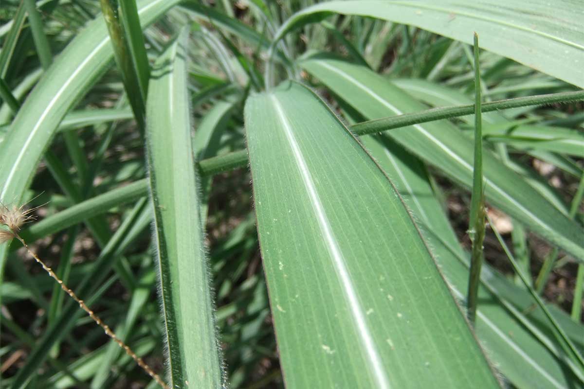
Gamba ID workshop
In February 2024 the Northern Territory Weed Management Branch hosted a Gamba ID Workshop as a part of the ICIN 2024 North Australian Savanna Fire Forum.
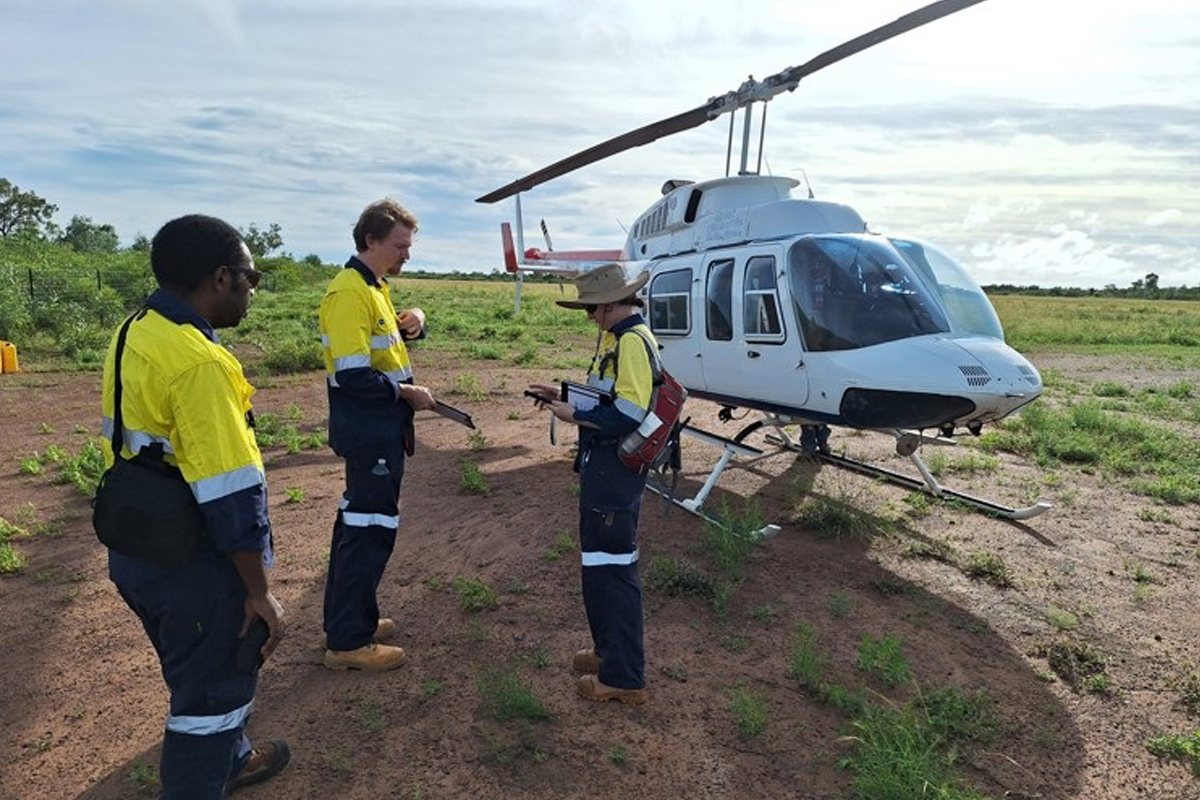
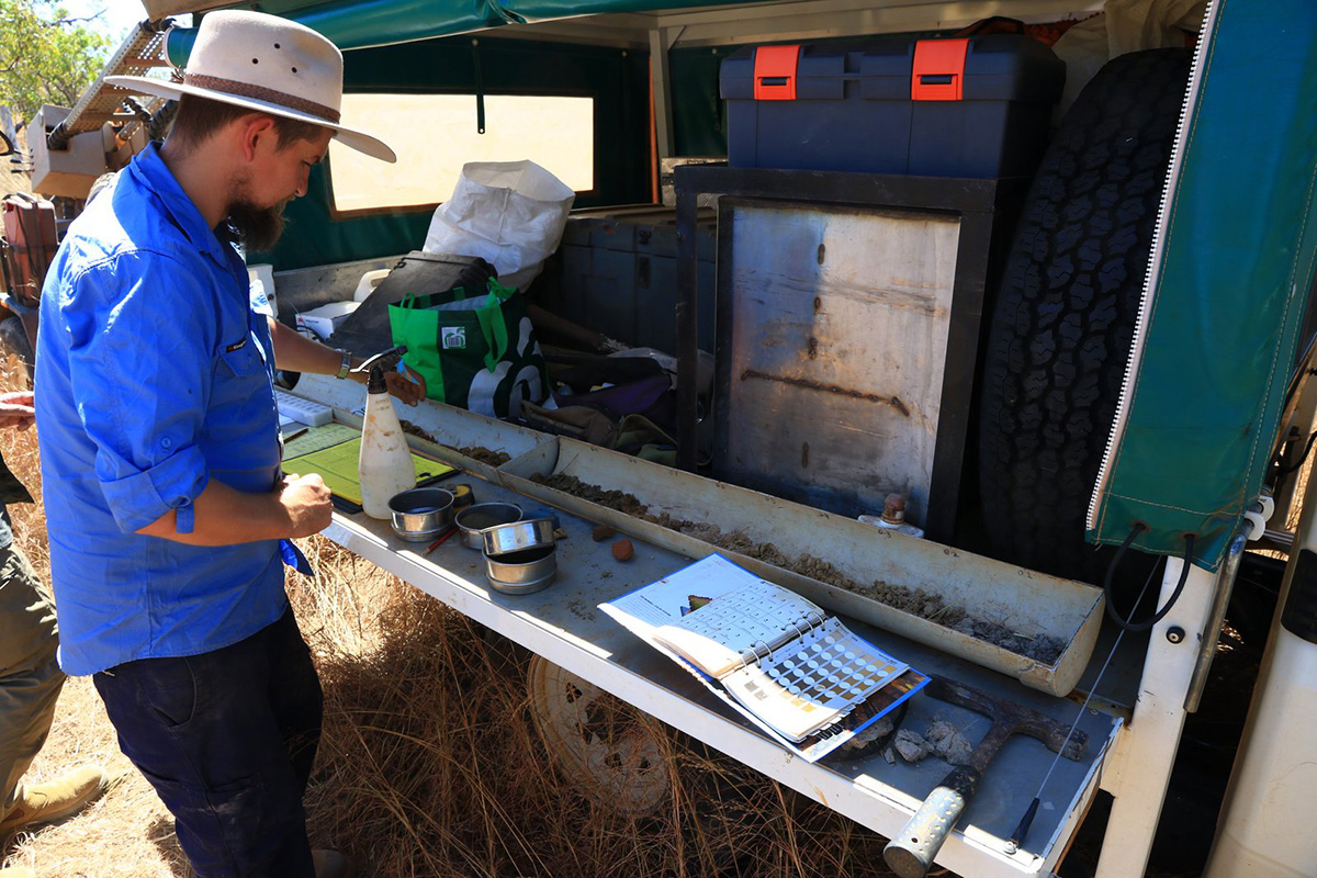
A first for onshore petroleum inspectors, surveillance from the skies
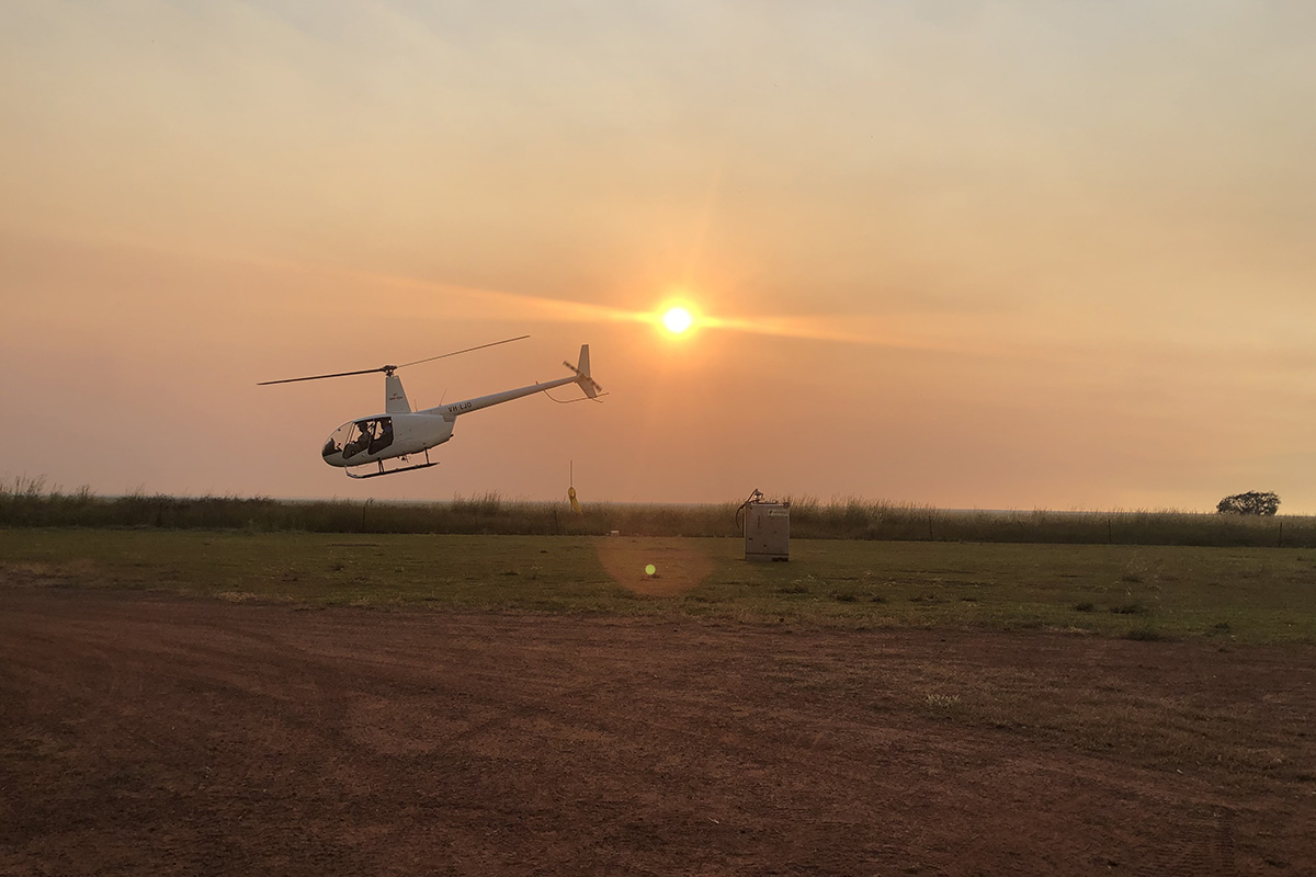
With recent rainfall causing access restrictions to remote onshore petroleum well sites, inspectors from Petroleum Operations and Weeds Management Branch of the Department of Environment, Parks and Water Security took to the skies to conduct their first wet season surveillance exercise across the Beetaloo Sub-basin, via helicopter.
Development Proposals on NT Parks and Reserves
The Department of Environment, Parks and Water Security has developed a policy setting out processes and considerations for developers of commercial proposals.
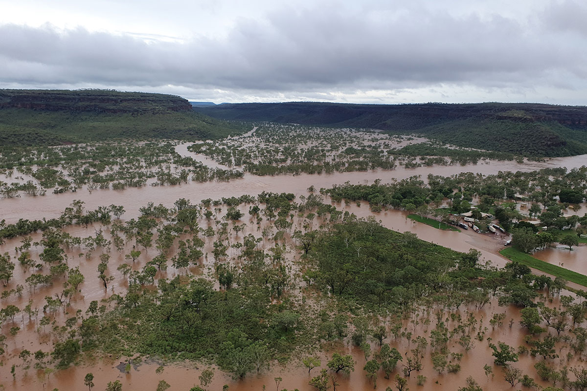
Water Resources Division respond to Victoria River flood
On 14 January, a tropical low pressure system designated as 03U by the Bureau of Meteorology (BoM) crossed the north western coast near Wadeye.
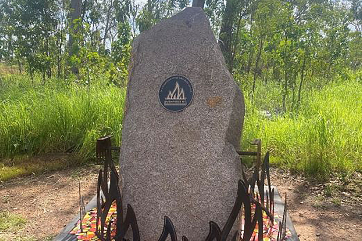
Honouring our heroes: unveiling the Bushfires NT memorial
Last year, while attending the St Florian (Patron Saint of Firefighters) service on the Esplanade in Darwin, representing Bushfires NT at the Cenotaph, Bushfires NT staff realised the absence of recognition for Bushfires NT and our dedicated volunteer network at Bushfires NT Headquarters (HQ).
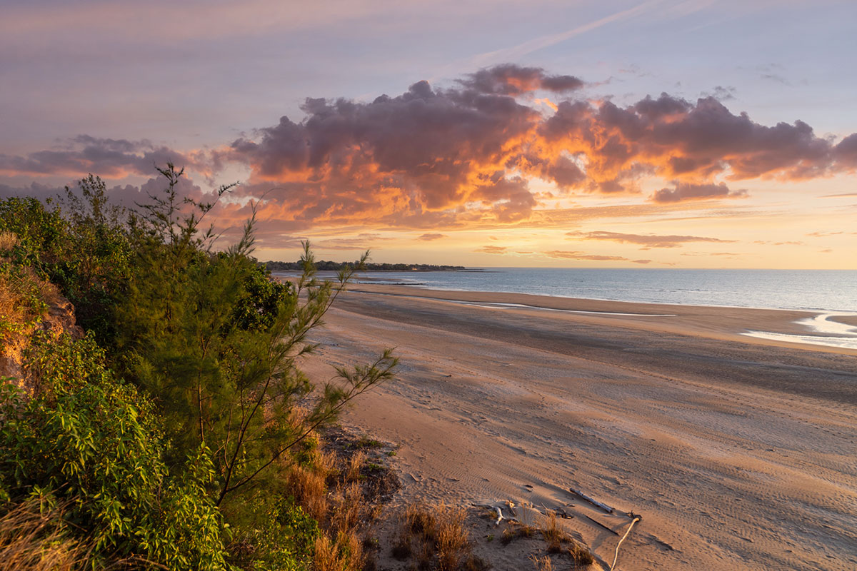
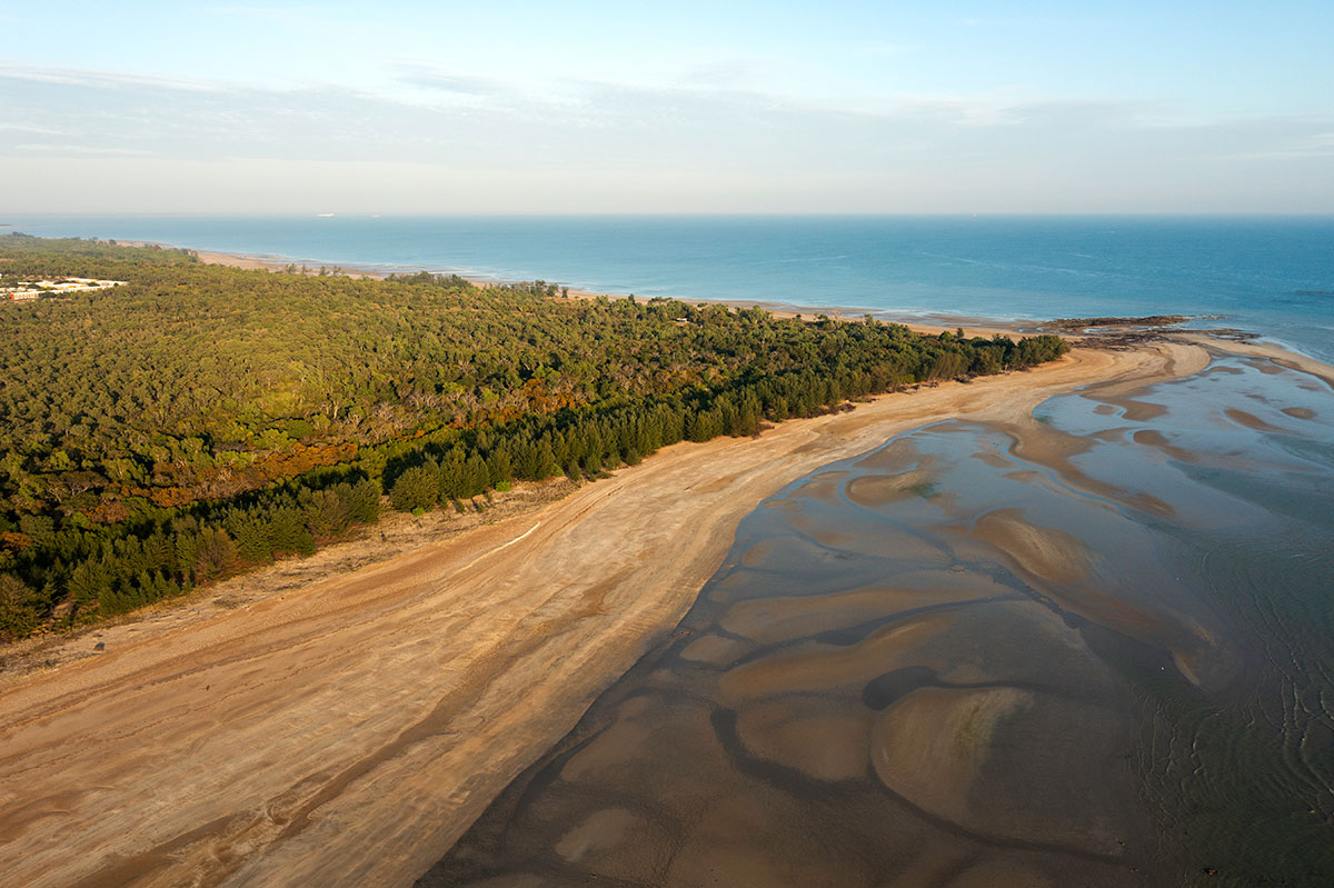
Casuarina Beach named among the best in the country
Casuarina Beach was recently named as one of the top 10 best beaches in the country for 2024.
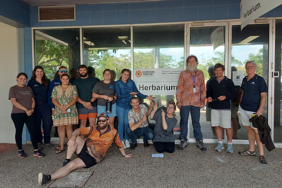
Botanical workshop held at the Herbarium
On Monday 2 October 2023 the Office of the Supervising Scientist (Department of Climate Change, Energy, the Environment and Water) held a botanical workshop with its colleagues from Environmental Resources Australia and Kakadu Native Plants, made possible by the Northern Territory Herbarium (DEPWS), Palmerston.
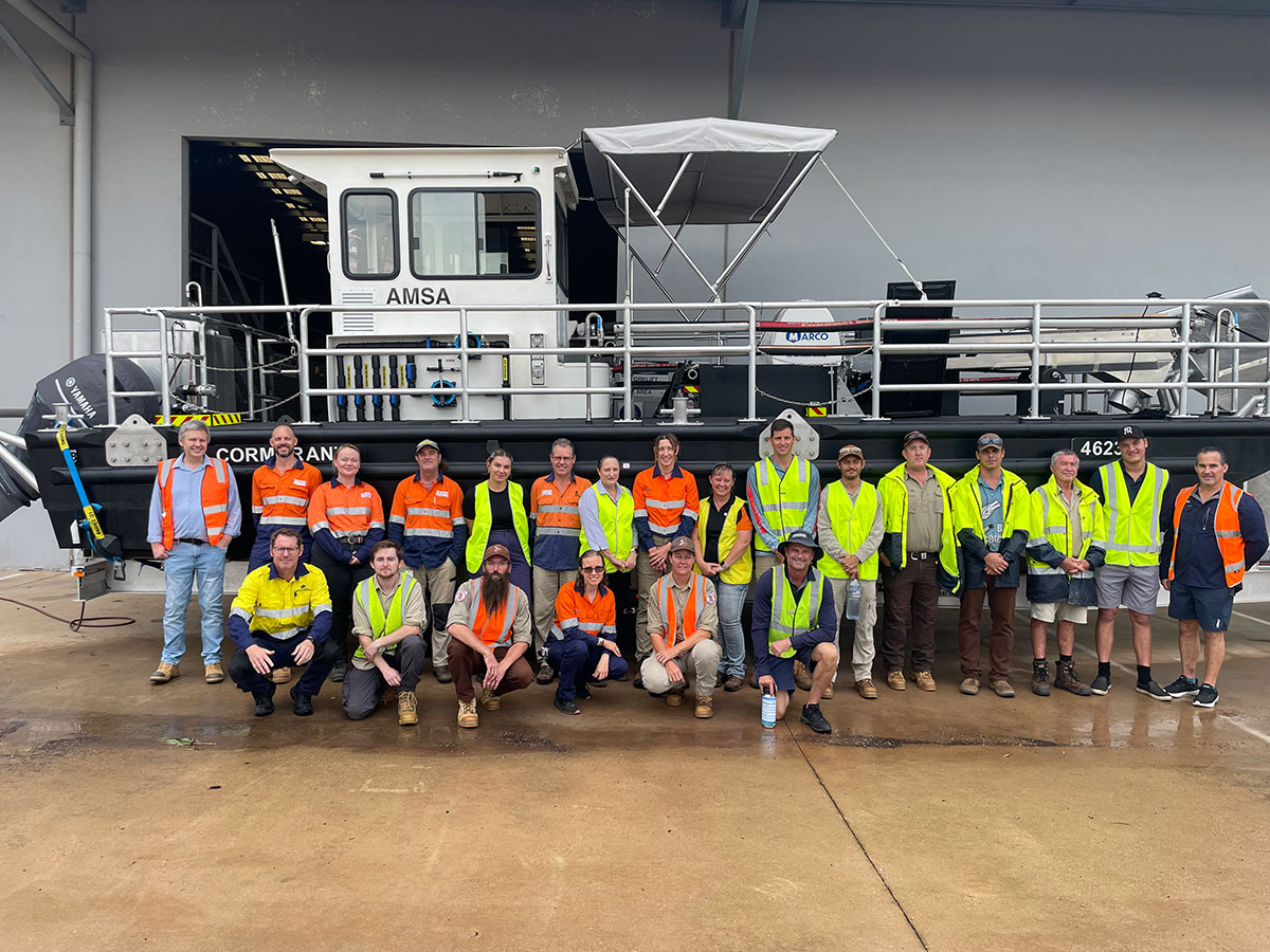
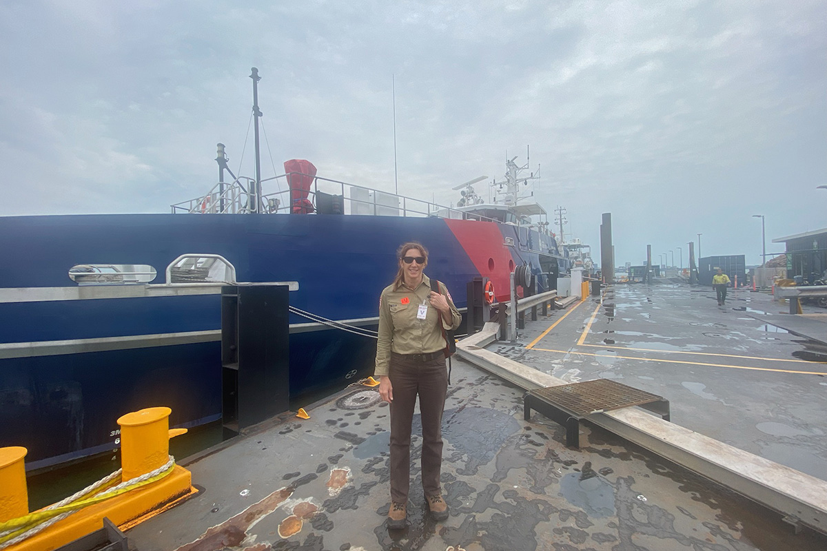
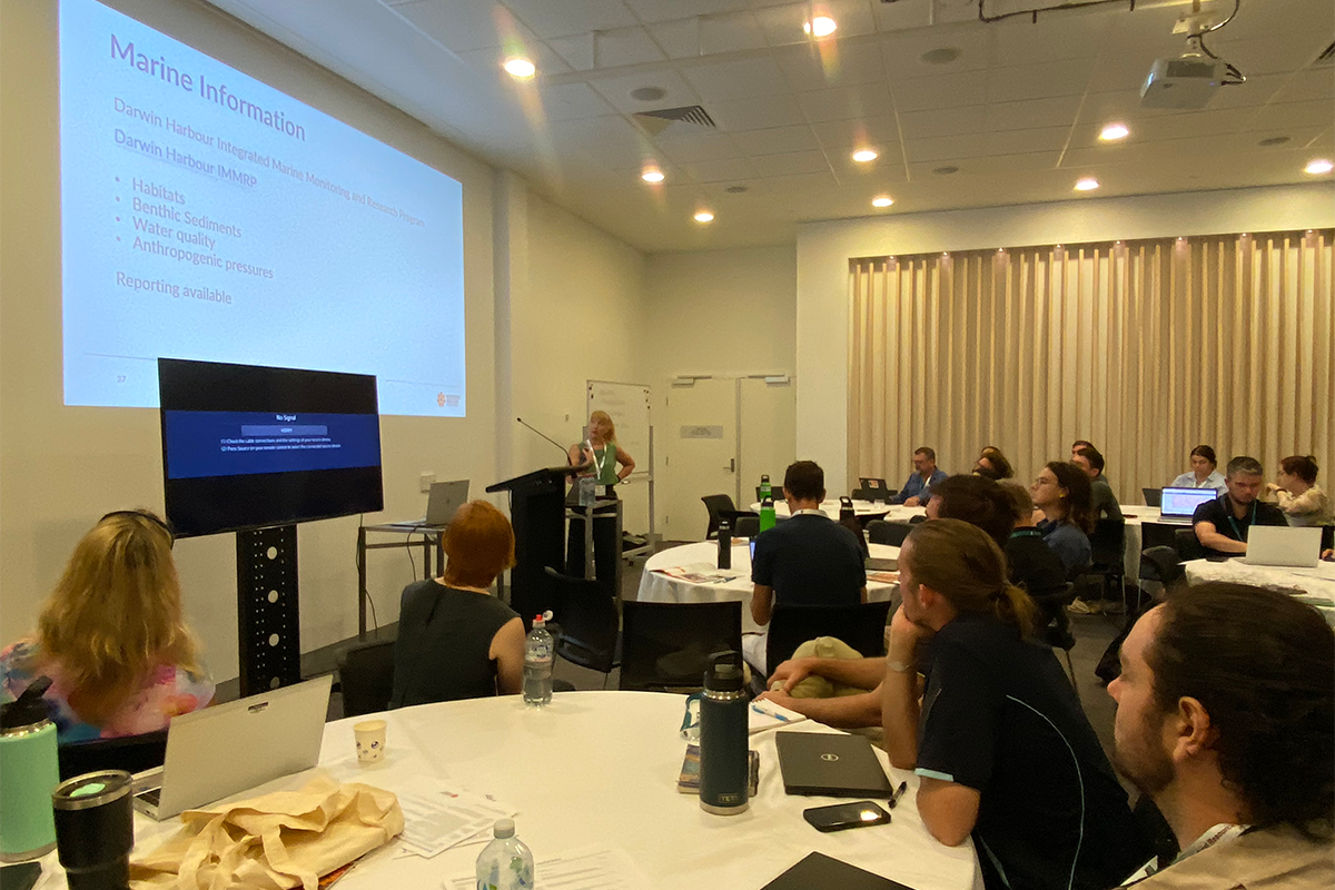
Building capability in marine emergencies
The two year maritime emergency program is one of the Northern Territory (NT)’s national and international obligations for marine environmental protection and has a heavy focus on marine oil spill management.
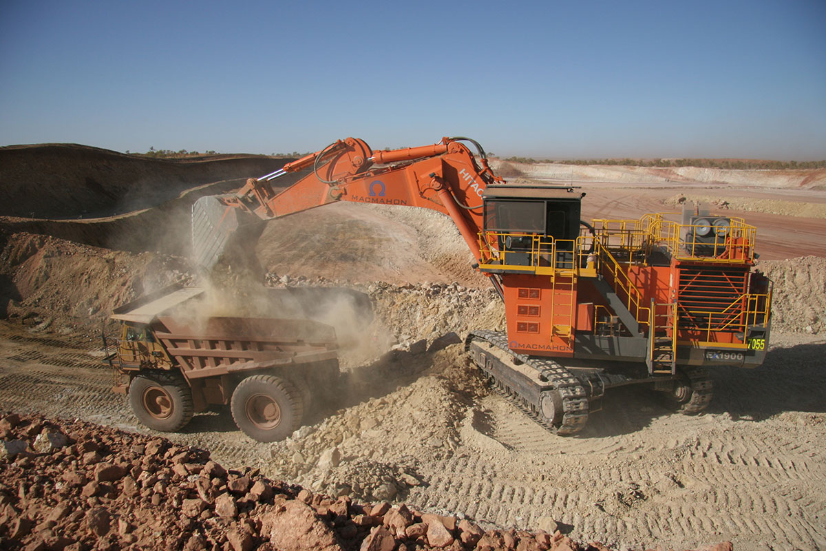
Environmental regulation of mining
The department is planning and implementing activities for the commencement of the new environmental (mining) licensing framework established under the Environment Protection Legislation Amendment Act 2023.
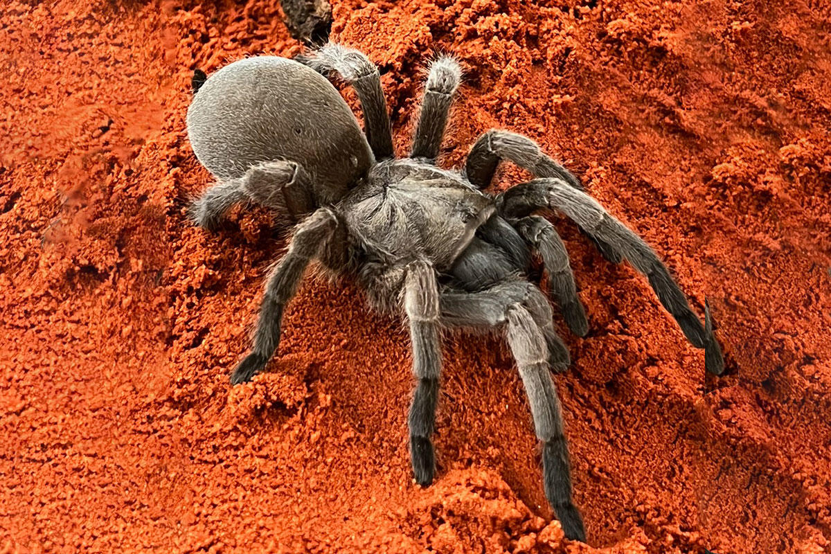
New exhibits at the Alice Springs Desert Park
The Alice Springs Desert Park team is excited to share three new exhibits in the Nocturnal House. The Brush-tailed Mulgara, Inland Desert Scorpion and Barking Spider each are fascinating and a little intimidating if you were to find them in the wild.
100th meeting of the Northern Territory Environment Protection Authority Board
The Northern Territory Environment Protection Authority (NT EPA) is an independent authority established in 2012, under the Northern Territory Environment Protection Authority Act 2012.

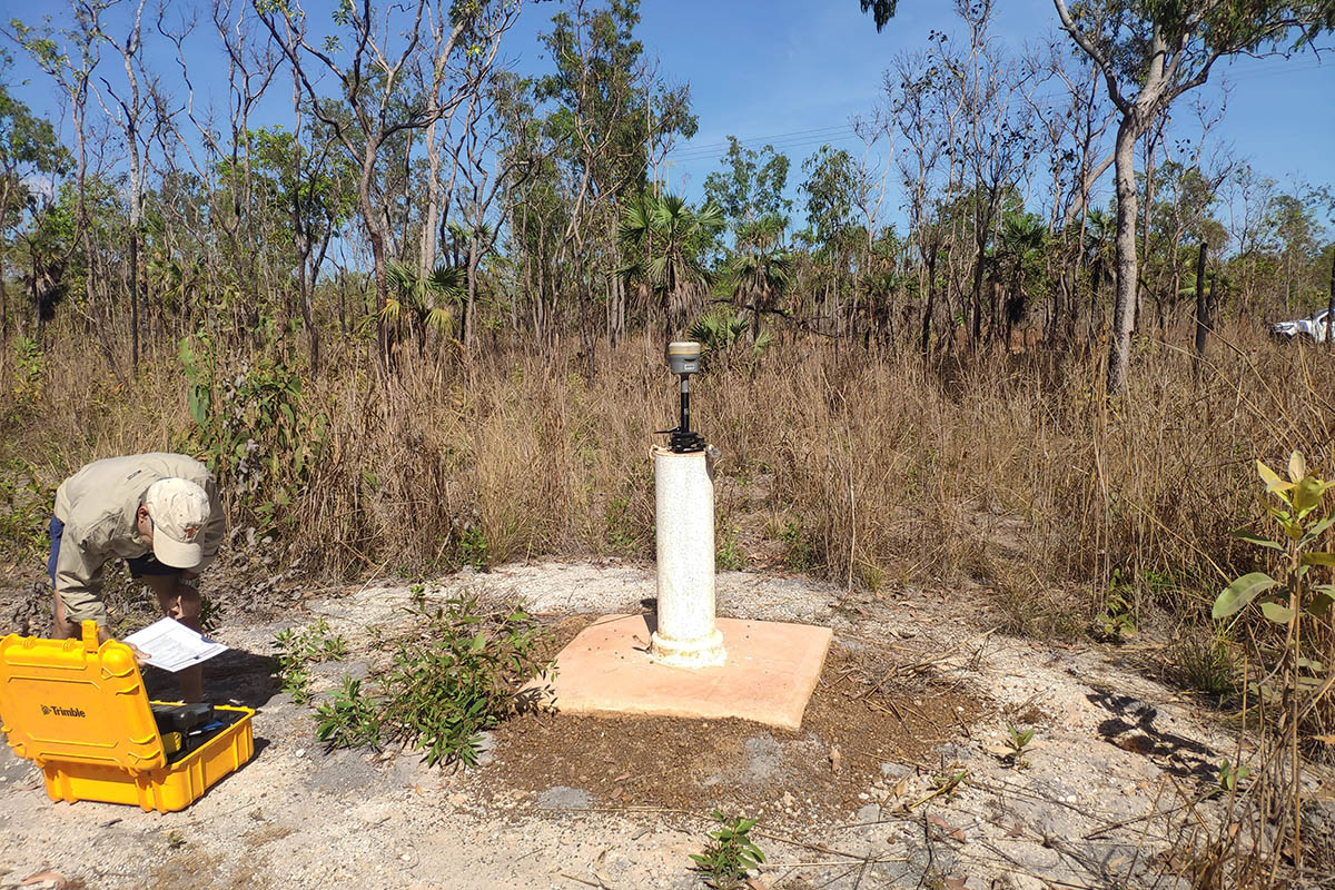
The Water Resources appointment system is live!
On 22 November 2023, the Territory Appointment System for Water Resources went live!
Keeping AELERT in the North
On 7 - 8 February 2024, Darwin hosted a meeting of environmental regulators convened by AELERT - the Australasian Environmental Law Enforcement and Regulators neTwork.
Let us take care of your holiday plans - become a volunteer caretaker in Limmen National Park
Located on the Roper River, right in the heart of barra country, there is a picturesque campground in need of a new volunteer caretaker or two.
Casuarina Coastal Reserve is growing
Casuarina Coastal Reserve is one of the Territory’s most popular recreational attractions, receiving more than 1.4 million visitors each year.
It’s hotter than a Taylor Swift ticket: busting the myths about the Jatbula Trail booking
Excitement surrounded the release of bookings for the Jatbula Trail on February 6 2024, via the Online Booking System.
Surface water – wet season flows policy announced
The Surface Water – Wet Seasons Flow Policy was announced by the Minister for Environment, Climate Change and Water Security, Kate Worden on Thursday 15 February, and introduced a precautionary approach to extracting surface water from the 30 river basins in the Top End.
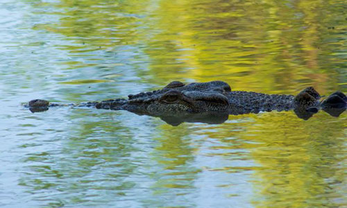
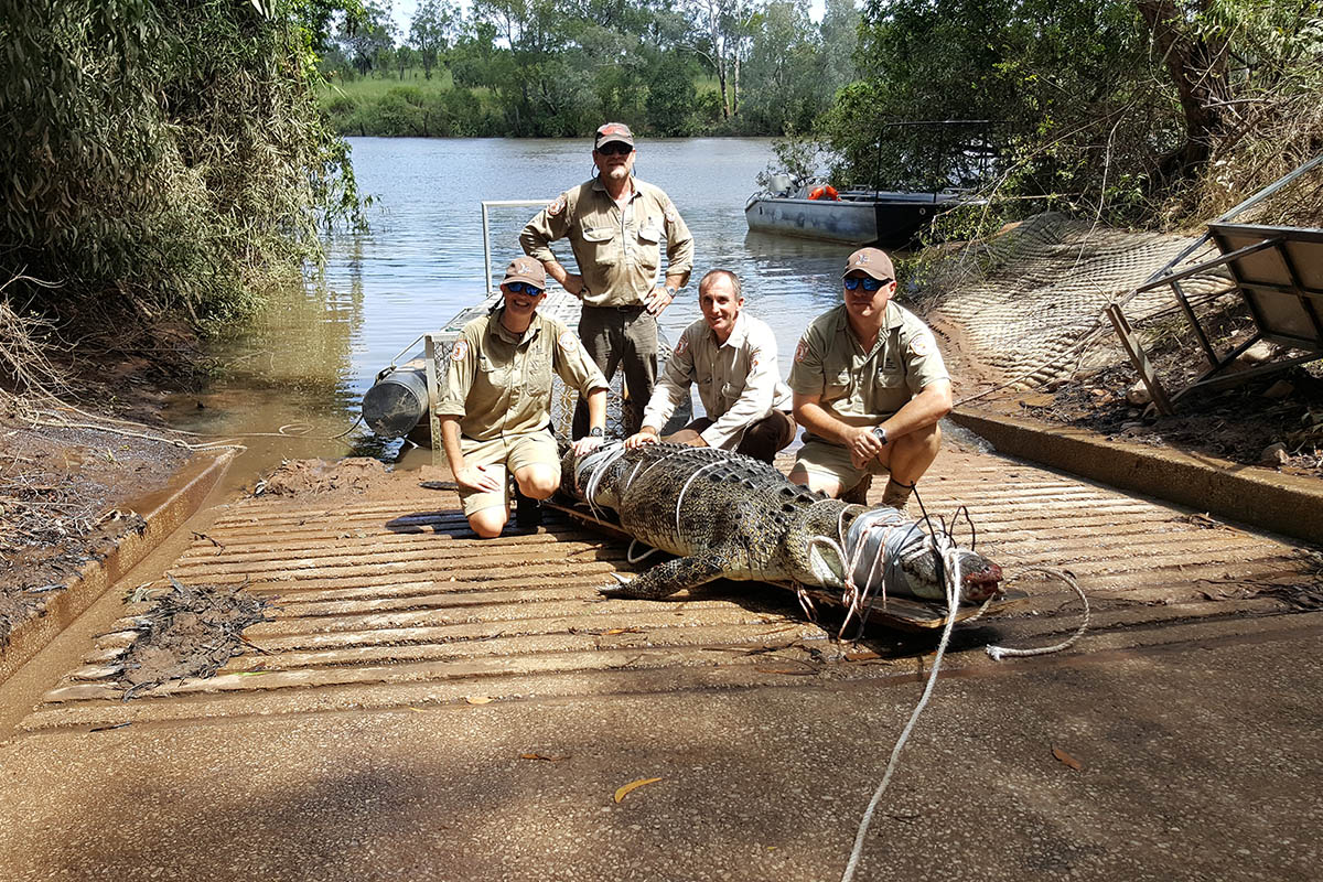
Management Program for the Saltwater Crocodile in the Northern Territory
The draft of the revised Management Program for the Saltwater Crocodile (Crocodylus porosus) in the Northern Territory (NT) of Australia is now available for your comments.
Wastewater regulation during the wet season
The Petroleum Operations unit is committed to providing clear information on how the onshore petroleum industry in the Northern Territory is regulated during the wet season.
New furry faces at the Desert Park
The Alice Springs Desert Park celebrated the arrival of some new residents this month. Six Brush-tailed Mulgara joeys (Dasycercus blythi) were delivered in a successful breeding program onsite.
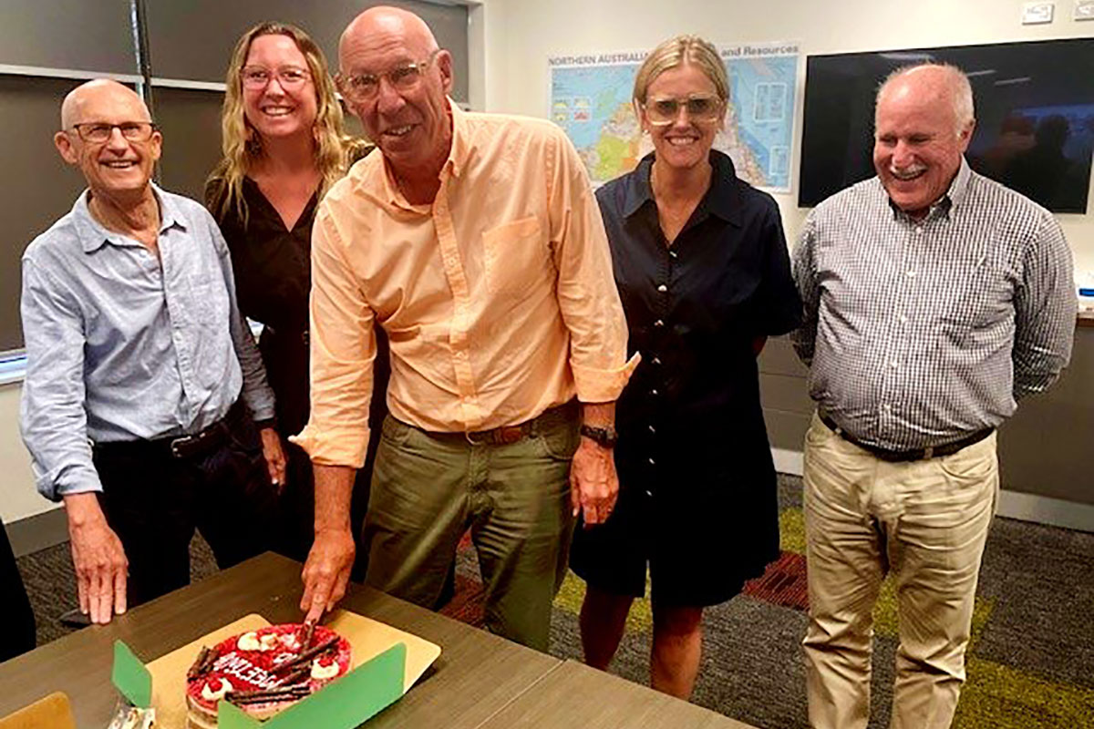
Farewell to a ranger and bushfires extraordinaire!
A bittersweet moment was felt by many in the department last week, as we bid farewell to a cherished colleague who has been an integral part of the team for many years.

Closures during the festive season
The department will commence the annual close down period as of close of business Friday, 22 December 2023 and will reopen on Tuesday, 2 January 2024.
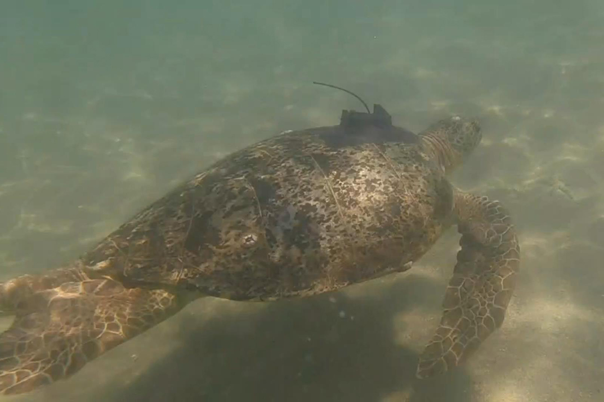
Garig Gunak Barlu National Park rangers undertake marine megafauna research
Garig Gunak Barlu National Park rangers recently worked with Charles Darwin University researchers to undertake boat-based surveys to satellite tag and collect DNA skin samples for sea turtles, dolphins, whales, and manta rays.
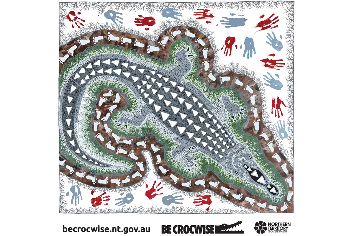
Sharona Bishop tells the Be Crocwise story through art
The Parks and Wildlife Community Engagement team takes all important Be Crocwise messages to communities across the Top End, talking to everyone about how to stay safe while they are living in crocodlie country.
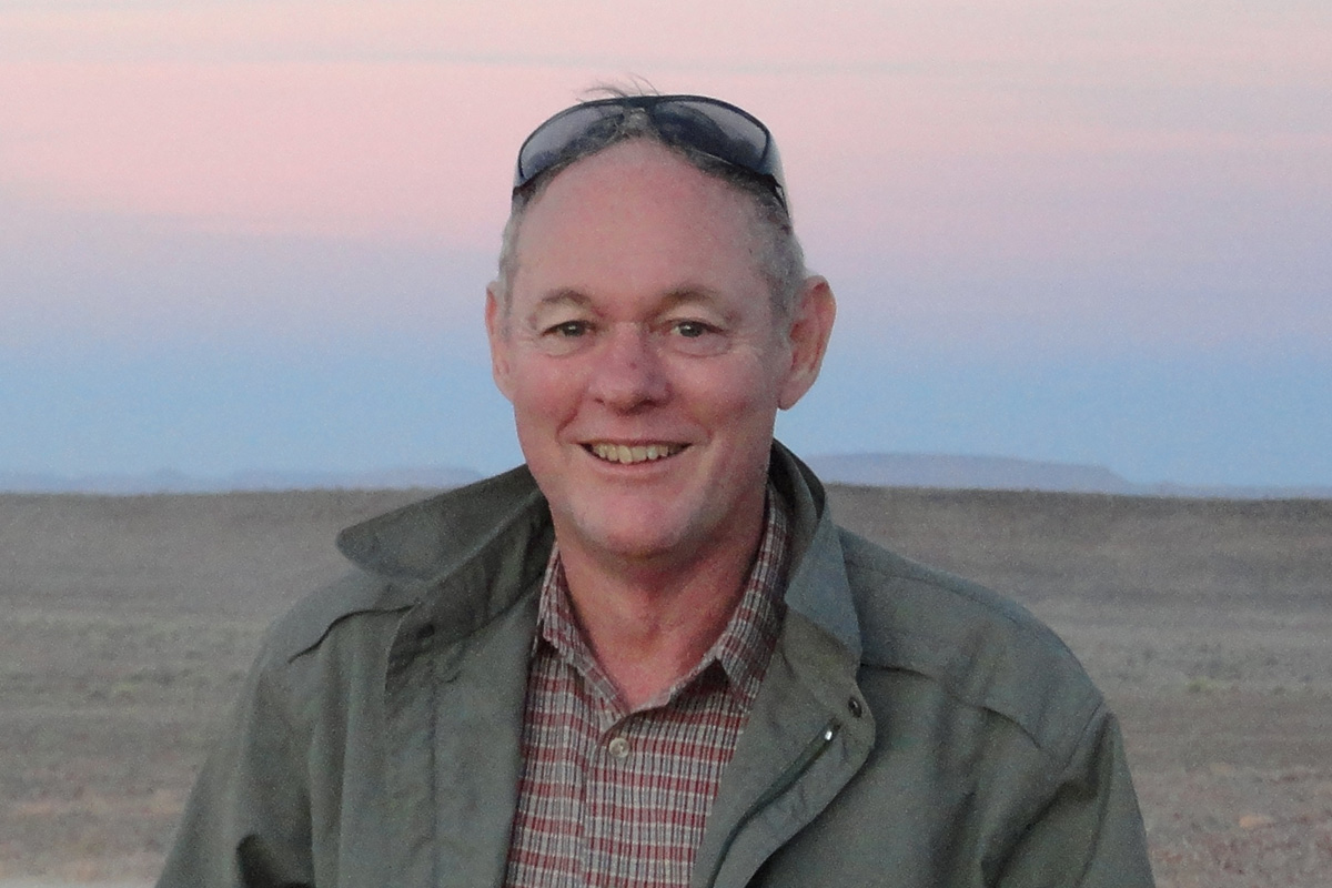
Top hydrogeologist Steven Tickell
Steven Tickell is the resident specialist hydrogeologist in the Water Resources division and provides core groundwater knowledge across the geological domains of the NT.
Three wins at Interpretation Australia Awards
Northern Territory Parks and Wildlife staff recently attended the national Interpretation Australia conference in Sydney and took out three major awards at the annual gala dinner and awards night.
Exploring nature together: REALM adventure begins!
Imagine diving deep into the heart of our community, discovering the hidden wonders of our local ecosystems. REALM isn't just about mapping; its about discovery and learning the secrets of our natural world!
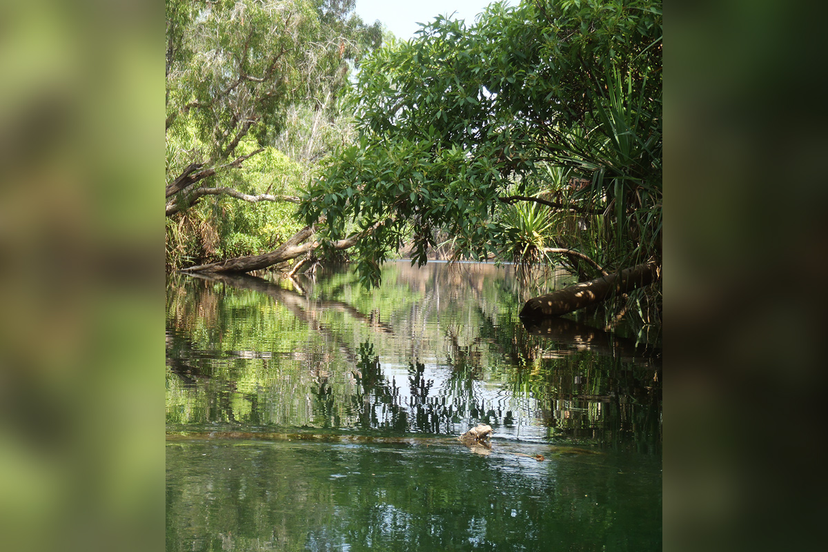
Seagrass survey in the Gulf of Carpentaria
Seagrasses are an important part of marine ecosystems in the Northern Territory, providing food, shelter and nursery grounds to many different aquatic species. Despite their name, seagrasses are not ‘true’ grasses.
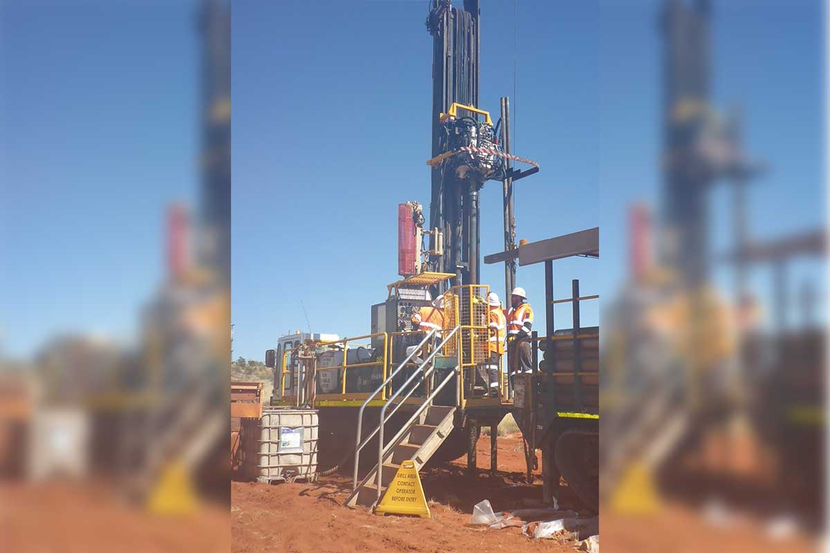
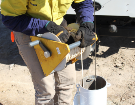
Water bore drilling in the Northern Territory - complying with the law
Bore work is a regulated activity in the Northern Territory (NT). Regulating bore work helps to protect aquifers, and enables improved understanding of some of the Northern Territory’s most important water resources.

Territory’s response to Climate Change
The previous Minister for Environment, Climate Change and Water Security, Lauren Moss tabled the third annual progress report on PDF (1.4 MB) the Northern Territory (NT) Climate Change Response in Parliament in October 2023.
Gamba Grass Annual Report 2023
The Weed Management Branch have recently released the Gamba Grass Annual Report 2023. This is the third gamba grass annual report that has been released since 2020 reporting on progress against implementation of the Weed Management Plan Gamba Grass 2020 – 2030.
Notice of limited services on 8 December 2023
The Department of Environment, Parks and Water Security will be operating with limited services across the Territory on Friday 8 December due to our annual department meeting.

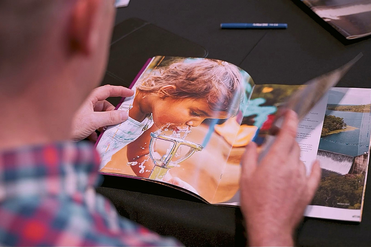
Empowering Aboriginal rangers: investing in the land and sea for a sustainable future
The Northern Territory's captivating landscapes, rich in natural beauty, biodiversity and cultural heritage, are home to diverse Aboriginal communities and dedicated ranger groups that have safeguarded these lands and seas for generations.
Grants available to grow the circular economy!
Applications for a new grant program to grow the circular economy are now open!
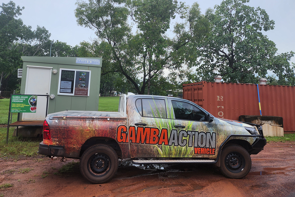
Gamba Action Program begins
The Gamba Action Program (GAP) is now in its 13th year, which continues to provide rural landholders with support in the fight against gamba grass.
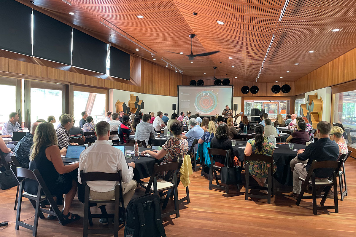
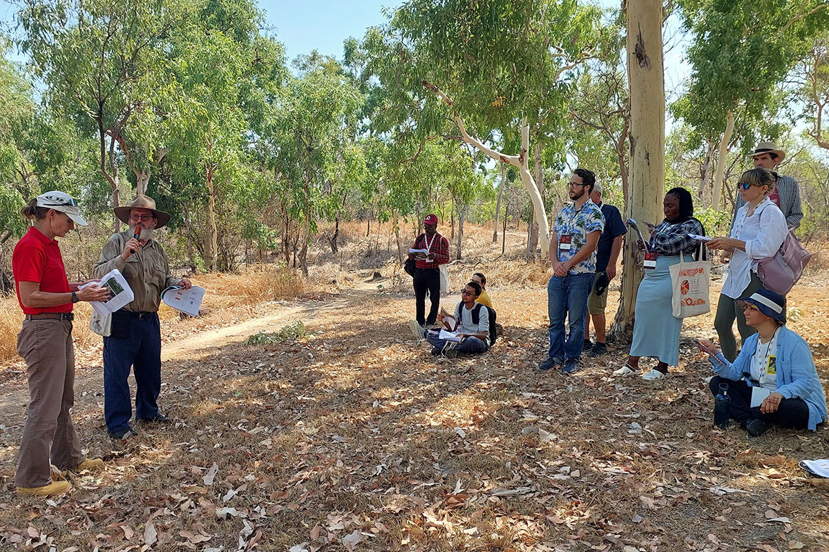
Territory Natural Resource Management Conference
Staff from Flora and Fauna and Rangelands Divisions ran a workshop at the Territory Natural Resource Management (TNRM) conference on Tuesday 21 November.
Adopt a Spot project goes global!
On Sunday 24 and Saturday 30 September, Dave Liddle, a founder and leader of the Gamba Grass Adopt a Spot project at Casuarina Coastal Reserve presented at the 10th World Conference of the Society for Ecological Restoration.